San Dieguito River Trail
July 3, 202032 miles
6 hours, 7 minutes, 21 seconds
Del Mar, California
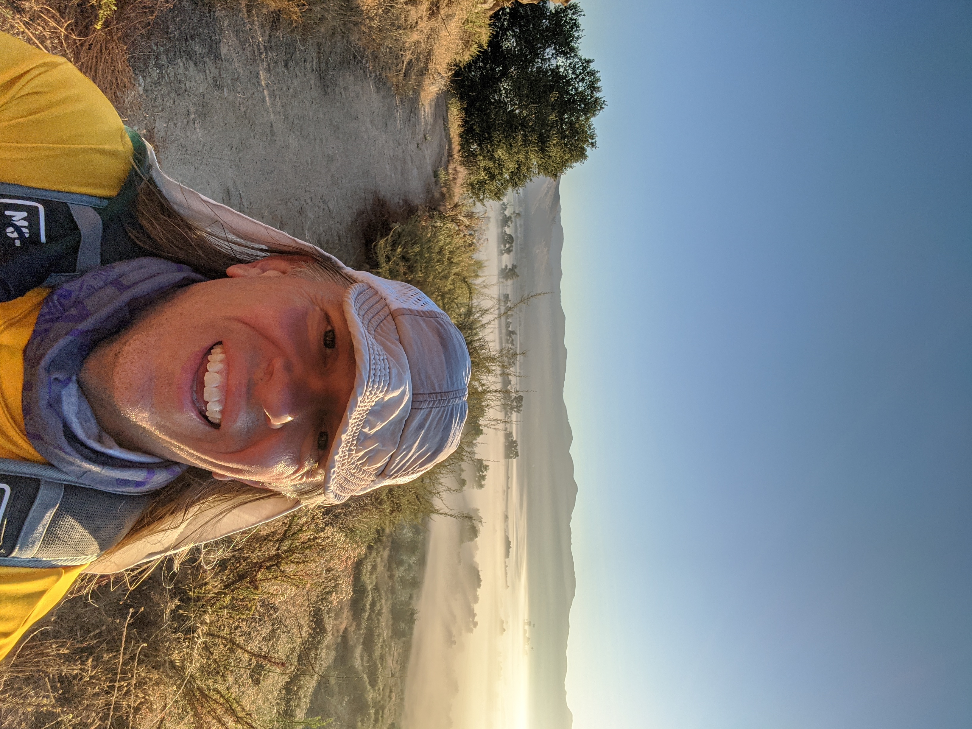
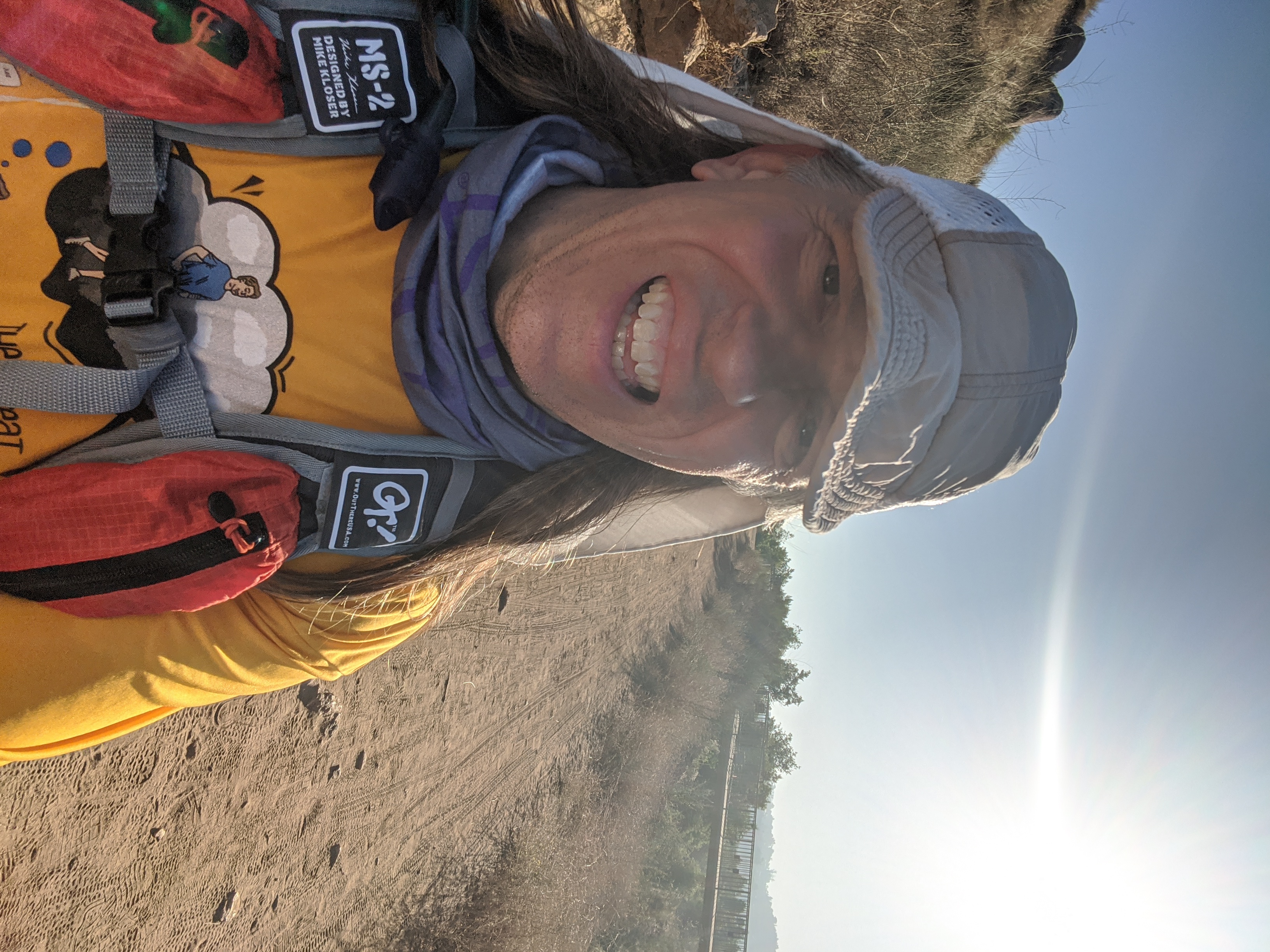
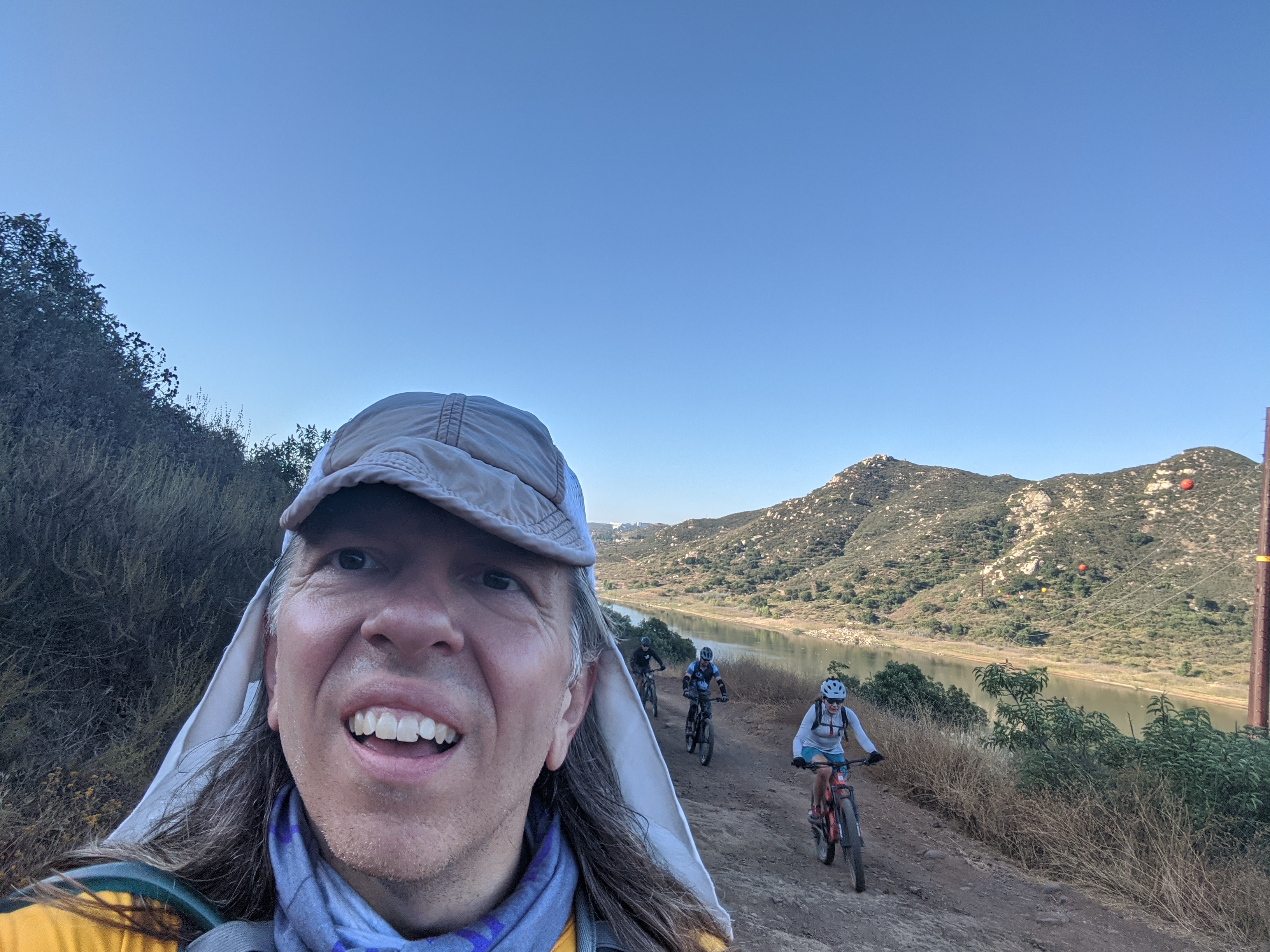
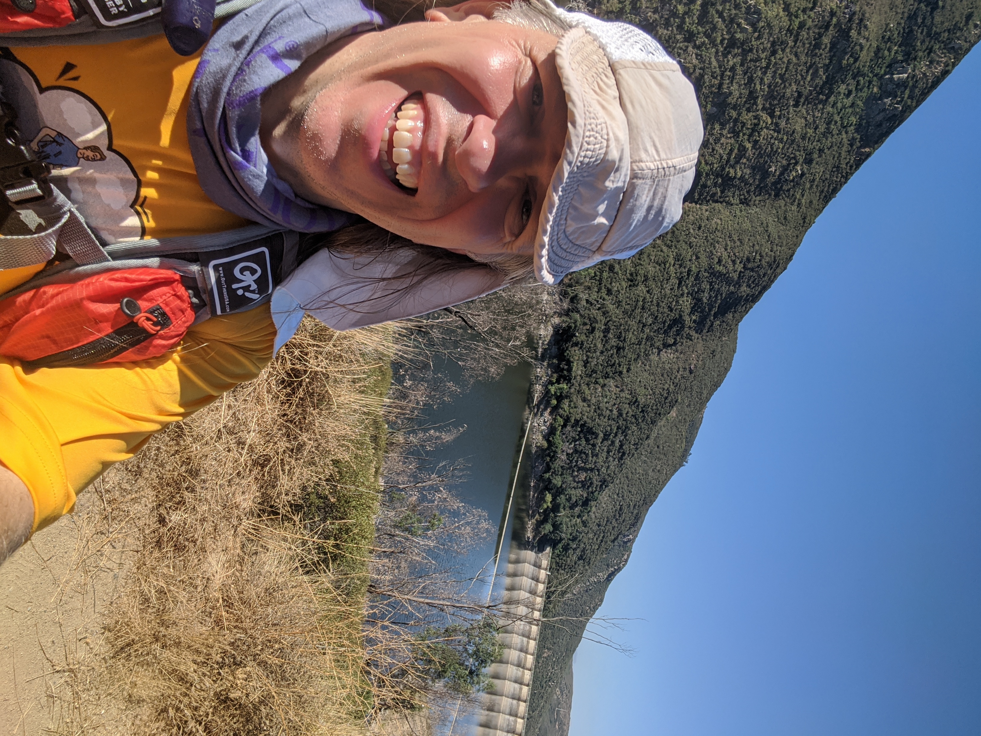
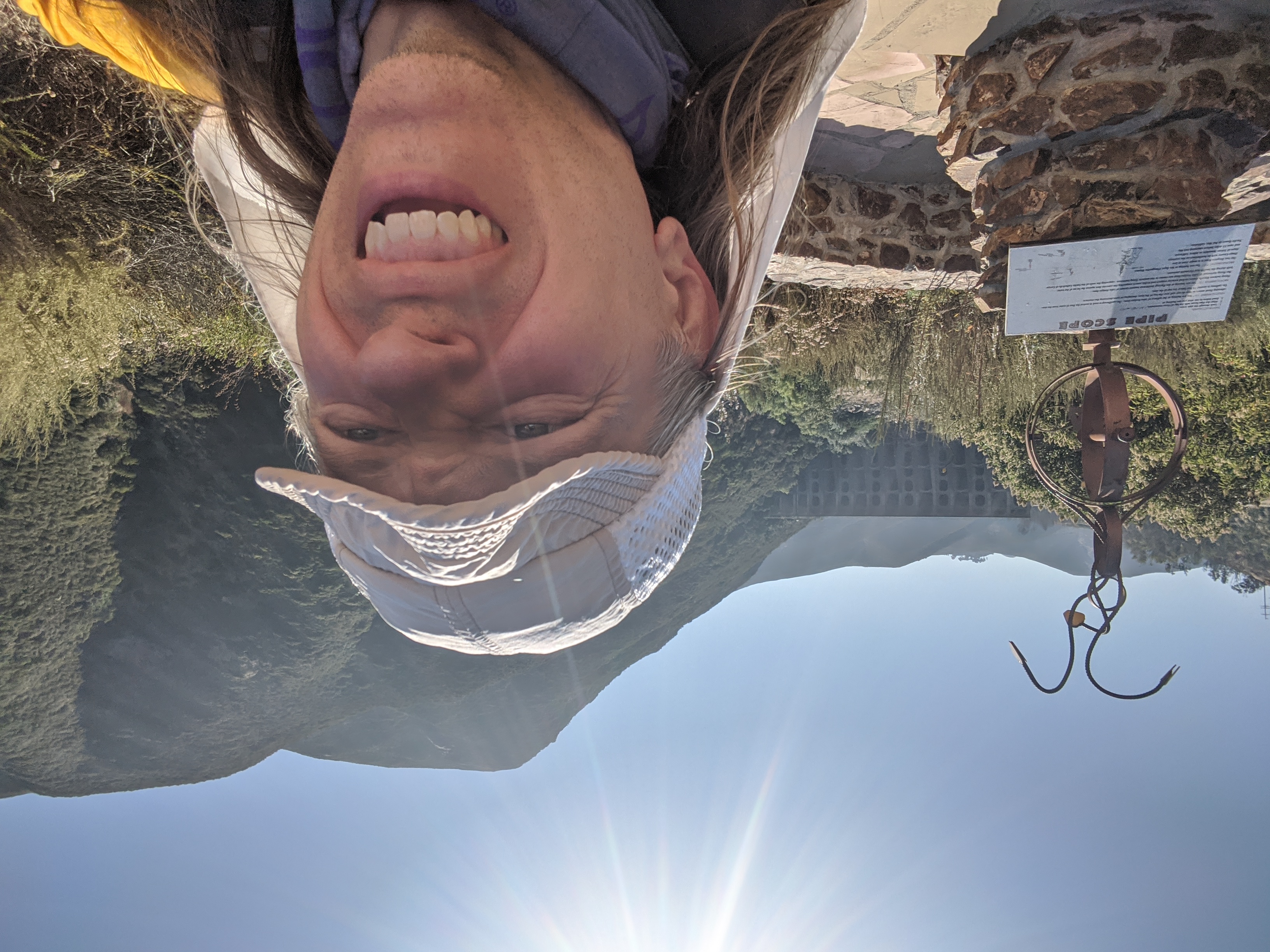
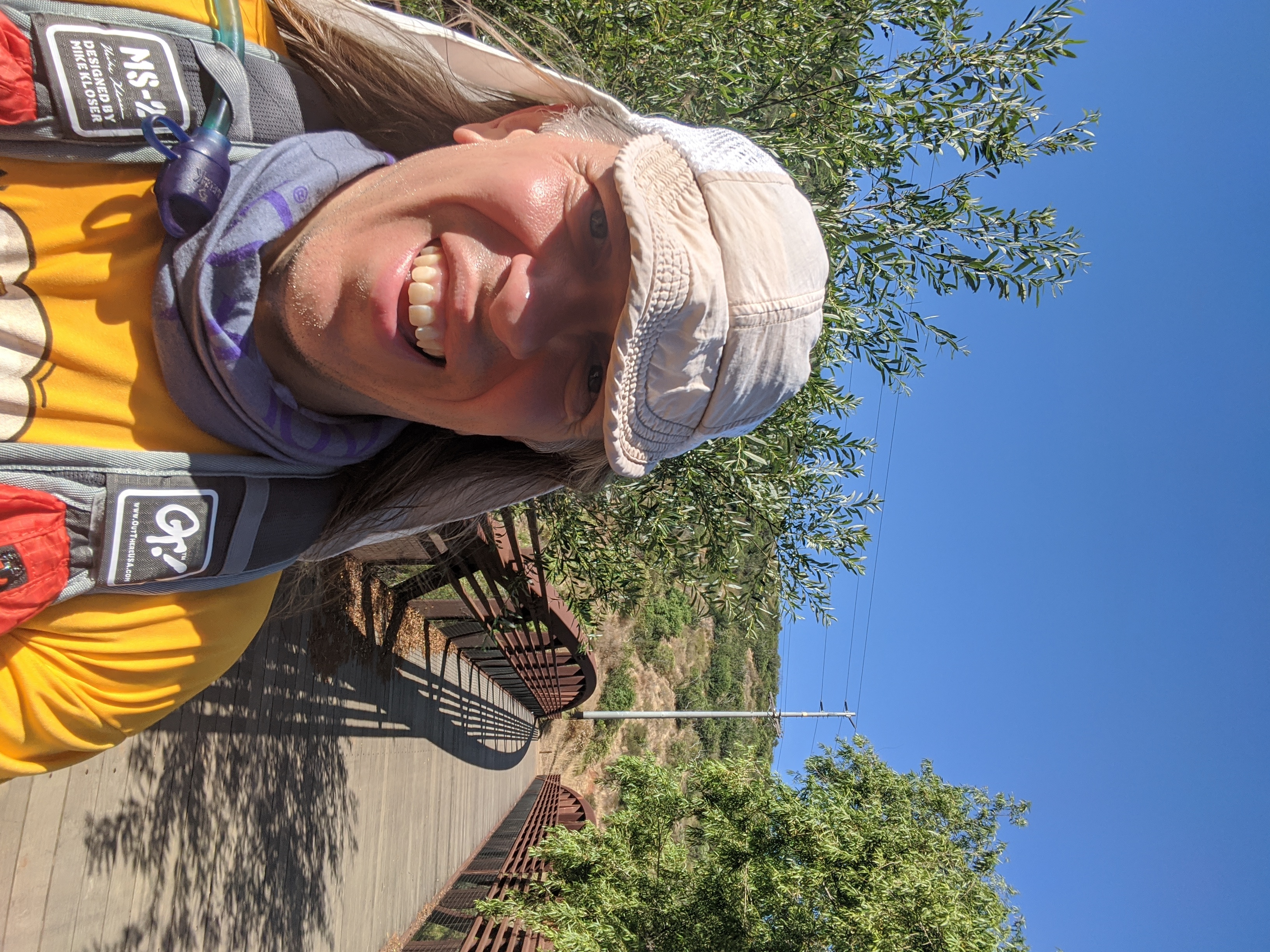
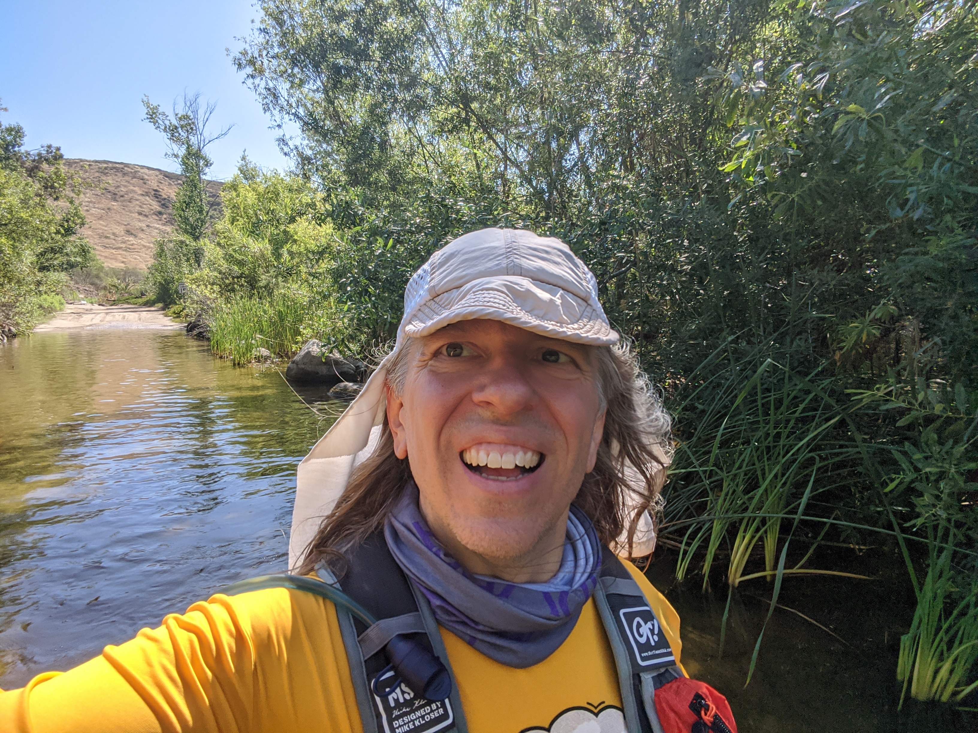
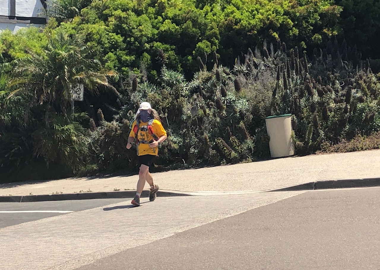
Overview:This "Fastest Known Time" route starts in the remote wilderness and generally follows the San Dieguito River down to the Pacific Ocean in Del Mar. The route is primarily on trails, with a few short road sections. Not all of the trail connections exist yet, so there are a couple of bushwhacks needed to complete the course. I was worried that some of the trails around Lake Hodges would be closed due to Covid, but the trails were full of bikes and pedestrians despite the fact that the parks were closed.Jane drove me out to the starting area and dropped me off around dawn. I started running at 5:27am. I carried all my food and water with me in a 100 ounce water bladder in my pack. I did not do any resupplies or receive any support during the run. The course was beautiful, with many spectacular views. Had great weather as well. Saw dozens of bunny rabbits sunning themselves on the trail, that would only dash off the sides to safety when I was almost upon them. Thanks to:
Links:
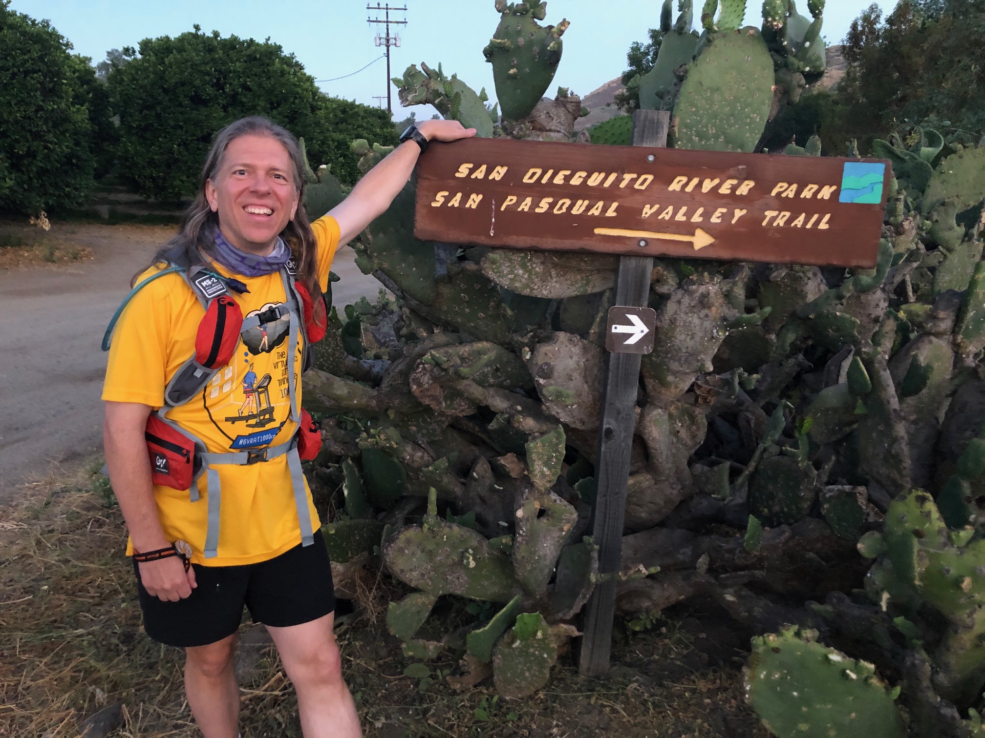
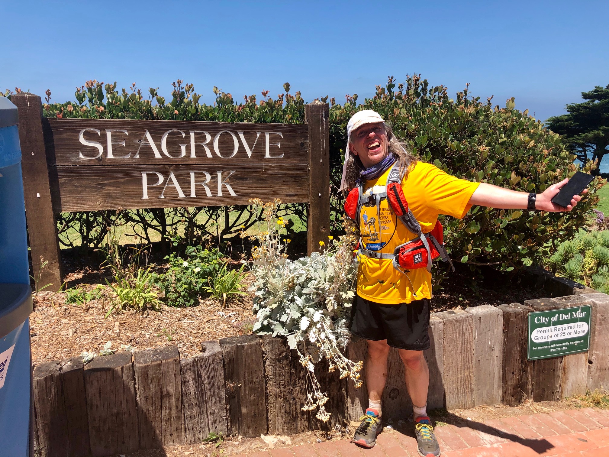
Pictures from the run: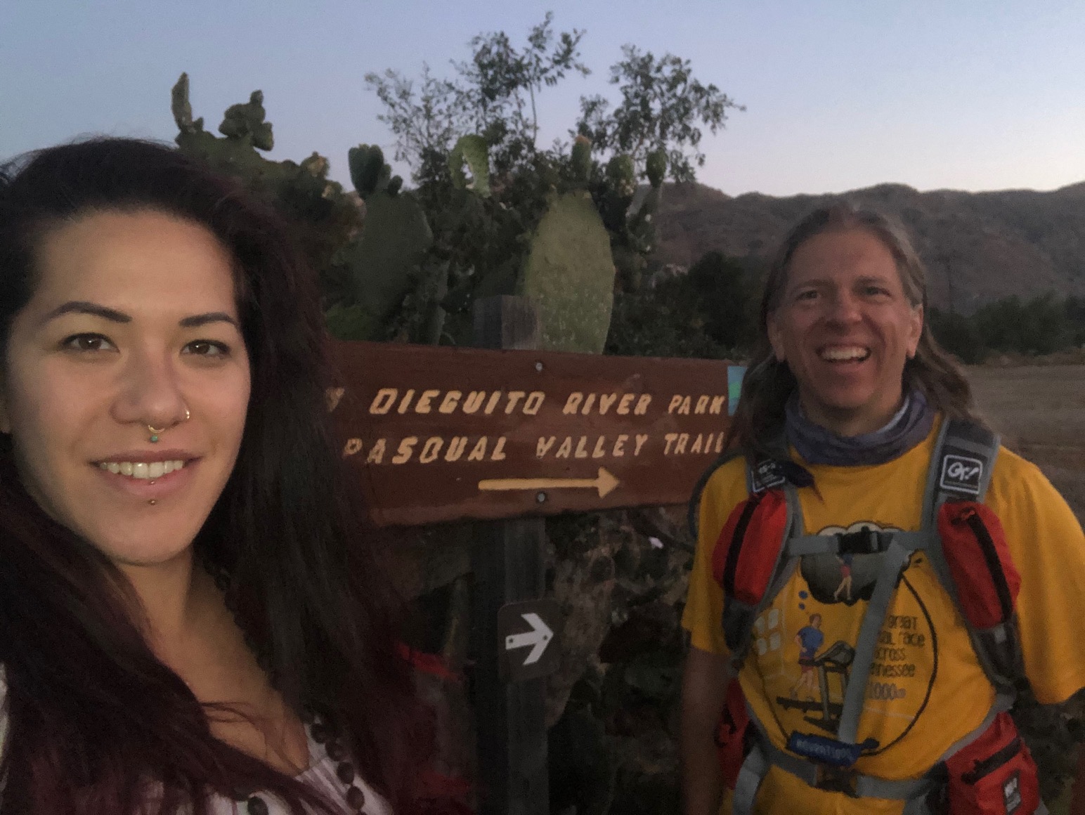 5:24am, my shuttle driver Jane dropping me off at the start.
|
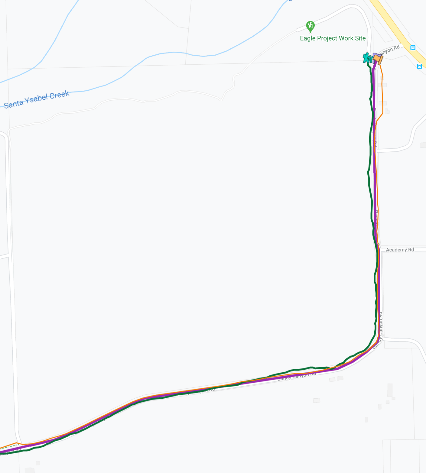
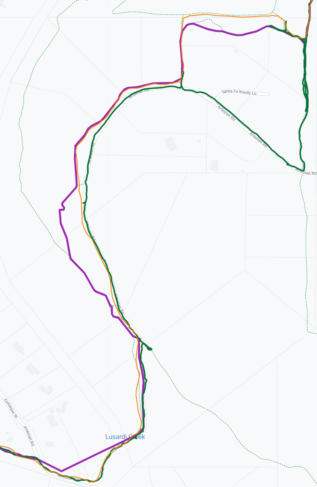
AddendumRoute Difficulties/Detours/Suggestions:This FKT can NOT be completed exactly as prescribed by the original posted route. Several sections of trail are missing, or are fenced off due to private property. In this section, I'll describe each of the detours for future runners who want to attempt this FKT.To help analyze this FKT route, I made a map displaying several variations for this FKT. It shows the original FKT route (in purple), Steve Green's route (in green, naturally), and my route (in orange). With all the routes overlaid it's easy to tell where we diverged. And in this section I'll explain the "why" behind the differences. 1. This first note is more of an observation than an issue... the start of the route could (and probably ideally should) be changed to start off following a trail instead of the road. The route as prescribed (and where Steve and I both went) starts off south along Bandy Canyon Road and then turns west. However, a must more pleasant route would be to go briefly north through the Eagle Project Work site, then follow the trail from there west, and then south. This would keep more of the FKT on trails instead of paved roads. Indeed, the park trail map shows the official trail as proceeding along this route (look by the number "9" on the trail map).
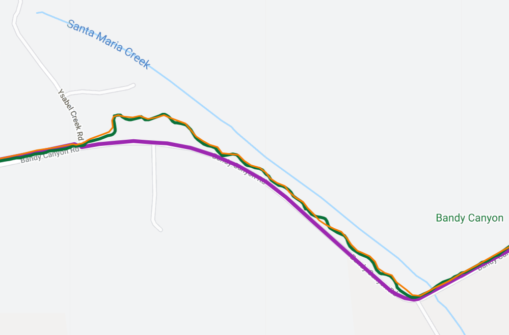
2. After crossing Santa Maria Creek the original FKT route was shown as continuing to follow along Bandy Canyon Road. But both Steve and I took with curvy path alongside it, which was definitely more in the spirit of this FKT by preferring trails over roads. I suspect the original route left this trail section off because it hasn't made it onto Google Maps yet.
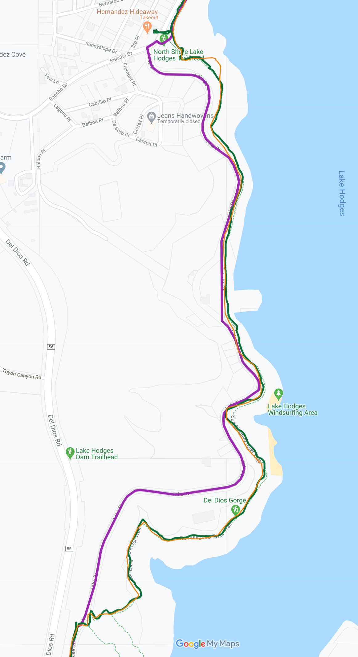
3. Along the western edge of Lake Hodges the original FKT route follows Lake Drive. Steve and I both agreed it was much preferable to follow the San Dieguito River Trail instead... after all, that's what this FKT is named!
4. As the trail approaches Artisian Road, Steve and I had our first major route divergence. The original FKT route (in purple) cuts through private property, and there is a big sign and a fence blocking public entry. Steve turned around at the fence, and attempted a parallel path to the north, only to turn around when he saw another fence around the corner. Steve then went south instead, and bypassed the trail system on Artesian Road. I instead discovered that the northern path actually worked... while there was a fence at the trail intersection, there was an opening in the fence you could walk through. And there were no scary signs like "no trespassing" or "private property". So, I went through the northern parallel trail, which was much closer to the original mapped route. And it kept things more off road. Our routes then came back together, but then we both diverged from the original mapped route, which went on to follow an additional segment of trail along the road. Unfortunately, that trail segment does not exist (perhaps it once did?), as I can confirm because I was definitely looking for it but all I saw was a field edge that ended in a fence and tall grass. And the final confusing part of this section was over Lusardi Creek. The original route shows a straight shot across the creek, but neither Steve nor I saw it. Instead we followed the road over the creek... and (for me, at least), the road was covered in several inches of water. An adventure!
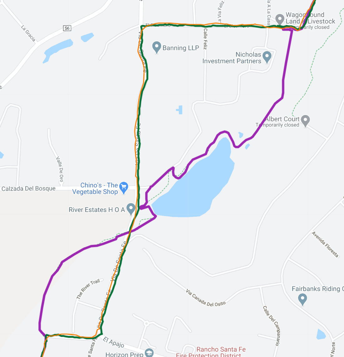
5. At WagonHound Land & Livestock, the route as originally mapped turns to follow a trail along the creek. Unfortunately, we both found that the entrance to the trail is fenced and has a great many signs explaining that it's private property and to keep out, etc. So I followed Steve's route along roads to bypass that section of trail.
6. All three routes diverged a bit in the next section, as unfortunately at this point the trail goes alongside a golf course. I hopped over to the parallel trail that was closer to the edge of the golf course earlier than the originally mapped route, to get as far away from the greens as possible. Fortunately nobody stopped me along my journey. Steve went halfway through the golf course, then decided it would be better just to abandon that route choice, and he then left on the roads out the entrance instead. Ideally this FKT should probably be rerouted to avoid the golf course altogether, but this is what it is at the moment...
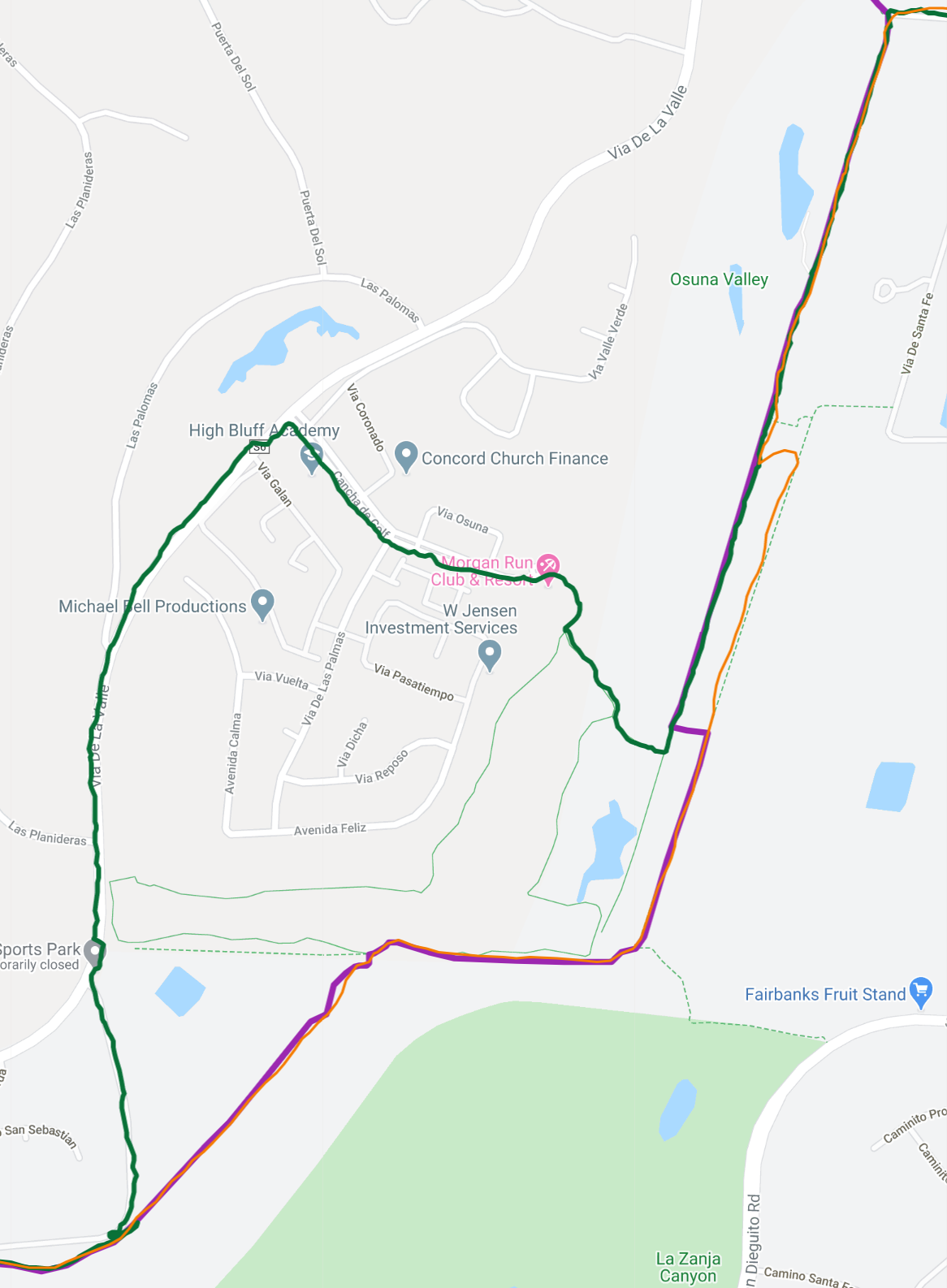
7. Approaching El Camino Real, the original route looks like it should follow along the creek and then possibly under the bridge. Or at least to the road. But we couldn't find any such trail connection, so Steve and I both went north a bit, and then had to do a brief bushwhack through some underbrush to reach the road. After scrambling across the road the trail did resume again on the other side.
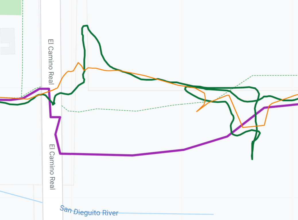
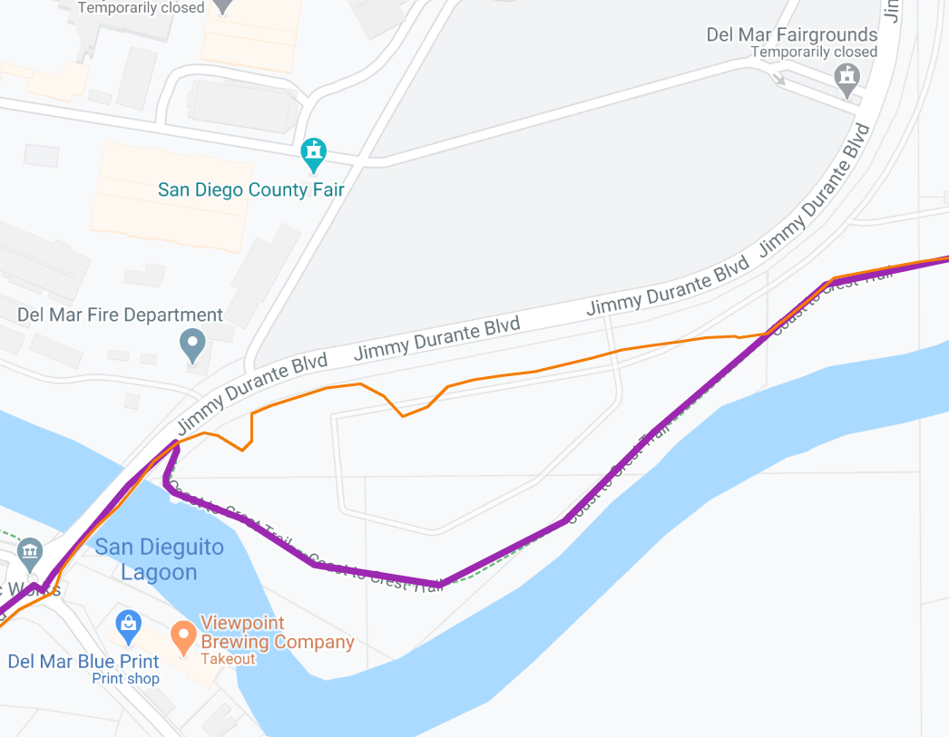
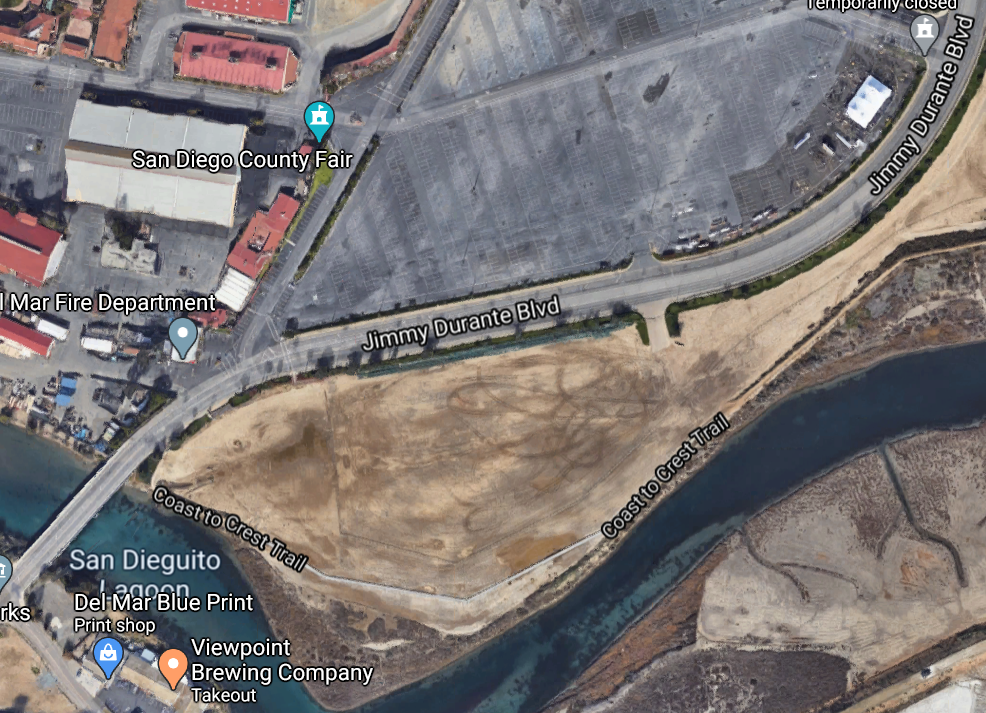
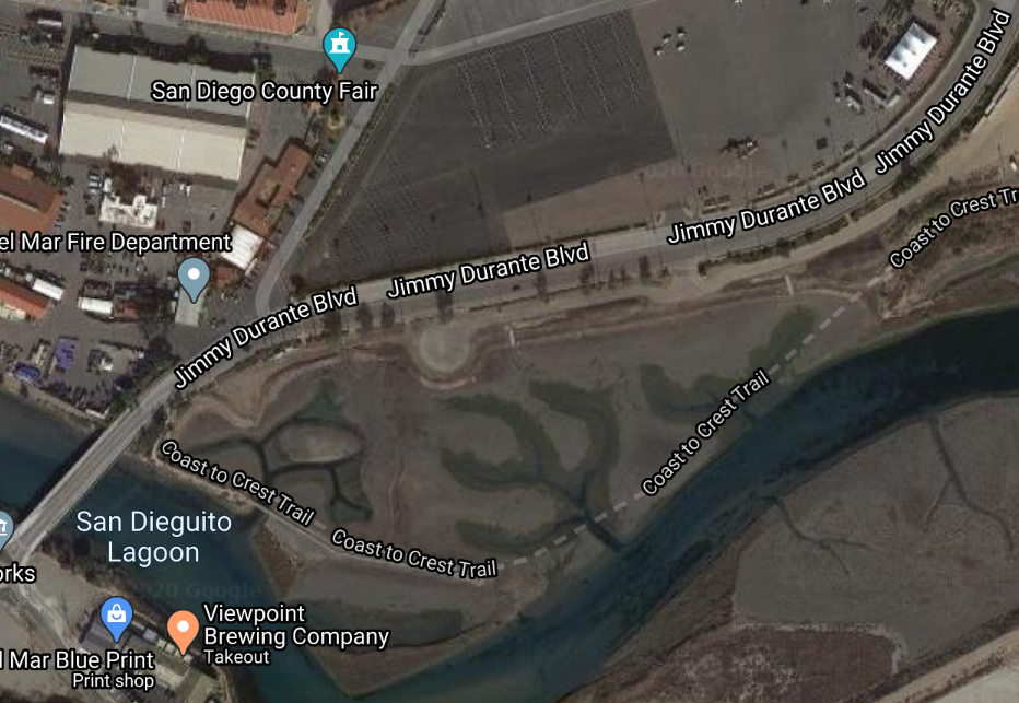
8. Steve stopped his FKT prior to the original mapped FKT route, so that left me with one final routing mystery to solve on my own. It turns out that the trail south of Jimmy Durante Boulevant doesn't quite exist as it used to. The trail has been rerouted to go north of the original locaion.
I found some aerial photos that show the area (and the trail) being changed over time. Google Maps still draws the trail on the map where it used to be, but in actuality it doesn't go past the water inlet.
|