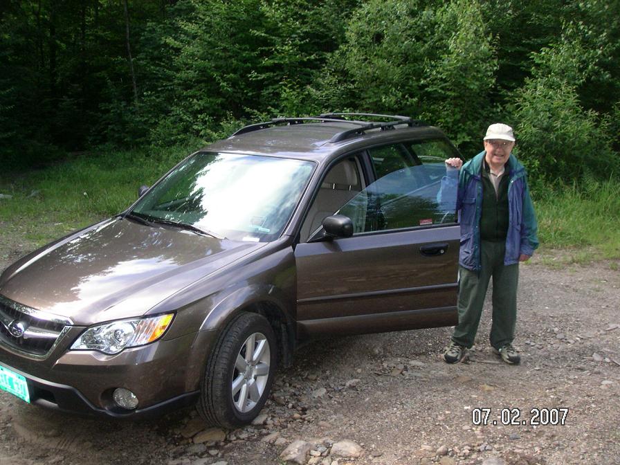
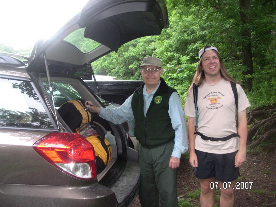
Mom and Dad and Renee, their GEB dog-in-pretraining, assisted us with the daily driving to the trailhead and staging our rental car at the finish location. Each night we stayed in various places, including an apartment, a motel, a couple B&B's, and my parent's house in Waterbury. With reservations and maps and food/gear in hand, we set off from the Burlington airport for Montgomery Center on July 1 where we spent the first night in a nice apartment.
Day 1/July 2: Journey's End to Hazen's Notch, 20.0 miles
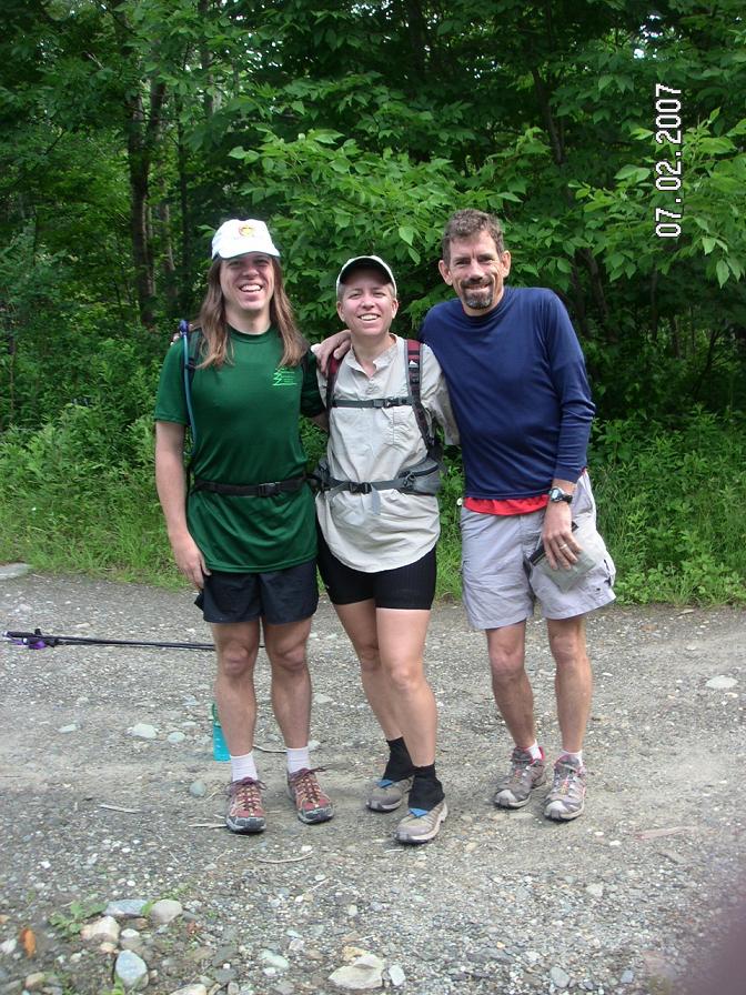
Dad drove us three runners to Journey's End Road and we set off toward the Northern Terminus. The trail started out beautifully, which I came to understand meant that we were near a trailhead. After a nice little climb we took a group shot at the Canadian border, then John went on ahead at his own pace. Kip stayed at my slower pace and we chatted about poker strategies on our way over to Route 105 and up toward Burnt Mountain.

I carried minimal water and was hoping to refill at the shelters that were located every 3-6 miles on the trail. However, I didn't find the hand pump near Shooting Star shelter, so I ended up mooching some water from Kip's Camelbak. Every 1.5 hours or so I mixed a half-serving of SPIZ or ate a few chocolate chip cookies. And I carried Gatorade powder to add flavor to the trail water and provide a few more calories.
It rained for a while, getting us wet overhead and from the brush on the sides of the trails. When it wasn't raining, typically John had cleared the dew from the plants for us, and he always cleared the spiderwebs. Thanks John!
I stopped to get water from a spring at the Laura Woodward shelter and Kip waited for me even though it was still raining. I enjoyed chatting with him as we continued up toward Jay Peak. Early in the day we could see the top from a couple vantage points, but as we climbed up to it the clouds took over. We walked briefly on a ski trail before returning to the woods and a steep climb into the mists.
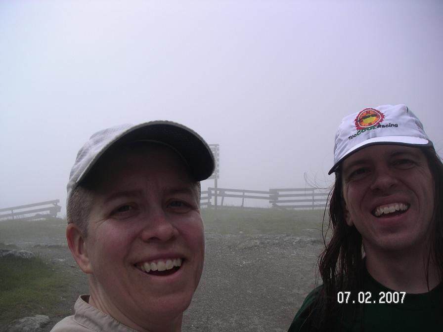
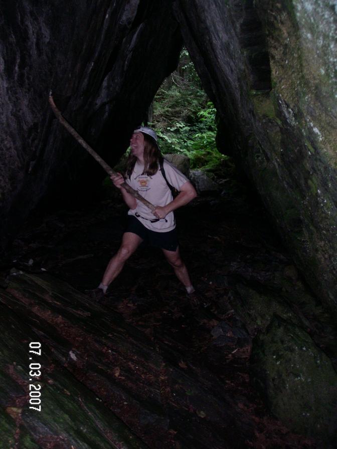
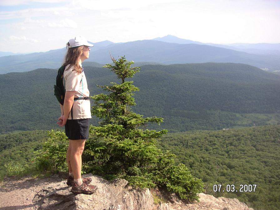
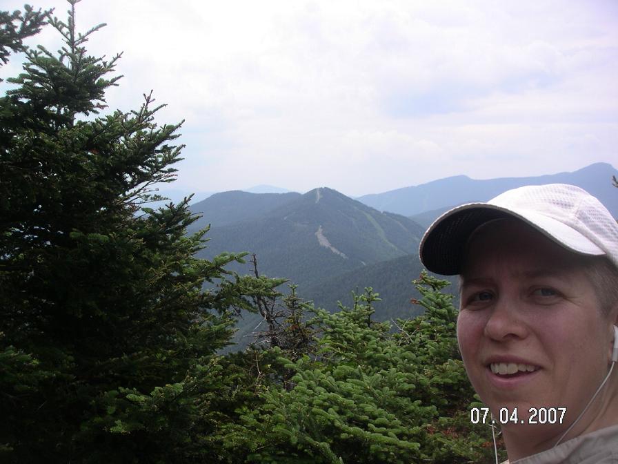
It was fun approaching the top of Jay Peak from this direction, as we had always climbed it from the south. We stopped for a quick photo near where John and I had gotten married, but my camera skills still need work (luckily there wasn't much to see).
Kip and I worked our way over rocks and down the steep trail that dropped to Route 242. Mom, Dad, and Renee were there, so we were happy to talk for a bit while refilling our bottles. Then we continued on, up to a ridge with several peaks and a decent trail. Even so, it's not easy to move quickly on the Long Trail. Rocks and roots are the name of the game. Then when it rains you also get mud and water. Fun!
Kip veered off to the latrine at Hazen's Notch Camp while I continued on, down a nice little run around Sugarloaf Mountain. At the bottom the trail turned and started back uphill, argh. Eventually I found the road, the car, and John and Dad. Kip appeared a few minutes later and we drove back to the apartment for some hot showers and hot food.
My day 1 time = 9:00
Day 2/July 3: Hazen's Notch to Codding Hollow Road, 24.2 miles
John started the day with me and Kip, and we talked a bit about adventure racing and Primal Quest 2008. Early fog cleared out and it turned into a nice day. After about 4 miles, around Tillotson Camp, John decided to go on ahead and run. I filled a bottle in a creek and then Kip and I set off for Belvidere Mountain.
Up until the top of Belvidere, the trail wasn't very runnable and we were making slow progress. Dad had suggested a side trip up to the top of the mountain and the fire tower for some nice views, but we had a lot of mileage to cover so we decided we better not make the detour. I knew what time the restaurant in Jeffersonville was closing that evening and I wanted to be sure to get some dinner. John did climb the fire tower and verified there are some good views from up there.
The run down to Eden Crossing started steep but turned into a very runnable and fun trail. We made great time and soon we were at the pit stop. However, it wasn't all fun and games, as Renee had bitten something nasty and her muzzle was all swollen. She didn't look happy at all. We helped load her into her crate so Mom and Dad could take her to a vet. Bummer!
We continued on to find one of the nicest trails of our whole trip, to Ritterbush Lookout and on to Devil's Gulch. We ran well and really enjoyed it. Devil's Gulch is neat, lots of big rocks at odd angles and a ladder to climb up. From there it was a long uphill to a ridge; I got water from a pipe in a creek on the way up.
The ridge was nice although there wasn't a lot to see. Just trees and more trees. We met a couple women hikers asking us if we knew of any views. Sorry, not around here! We continued on, up and down, through fields and forests. There was a ton of stinging nettle that was starting to bug me (it was fairly benign as nettle goes, but hard to avoid and frustrating to put up with after a while).
We reached a logging road with no trail marking and no sign of a trail on the other side. We deduced from the placement of an arrow pointing the way we had come that we should turn left. I tried to figure this out on the map as we walked that way. Finally the trail reappeared. It would have been nice to run that section if we had been sure which way to go.
Another nice section of runnable trail led us to Butternut Mountain. This climb, with numerous false summits, seemed to take a long time. The top was finally obvious but without a view for our efforts. I wouldn't cut down trees solely to provide a view, but I'm ashamed to say that the thought entered my mind.
We ran down the other side, noticed an actual switchback (the trail mostly goes straight up and down mountainsides), and soon found Corliss Camp. I stopped for water while Kip continued on. The mosquitos swarmed me, so I hightailed it to the screened-in shelter to mix a SPIZ and add the water treatment pills to the new water. I also got out my iPod.
The next section passed quickly, with music moving me along at a faster pace. I also chatted with several hikers coming the other way. One asked me if I was the "third runner"? - apparently John had been talking to some people. Another told me that John was a couple miles ahead. Cool.
Along the top of Laraway Mountain it was really wet, even with the addition of wood planks to keep us out of the worst of it. The trail became narrow between high brush, requiring some attention so I didn't jump 6 feet in the air when a hiker would startle me each quick corner. Eventually I found the top (just a little view) and started down.
I caught up to Kip at the best view we found all day, so we took a couple photos and then continued on together. There were some neat cliff bands and then a nice trail on the way down to the car. It turned out we had plenty of time to make it to dinner, so it would have been nice to see the fire tower views, but we'll just have to come back there another time.
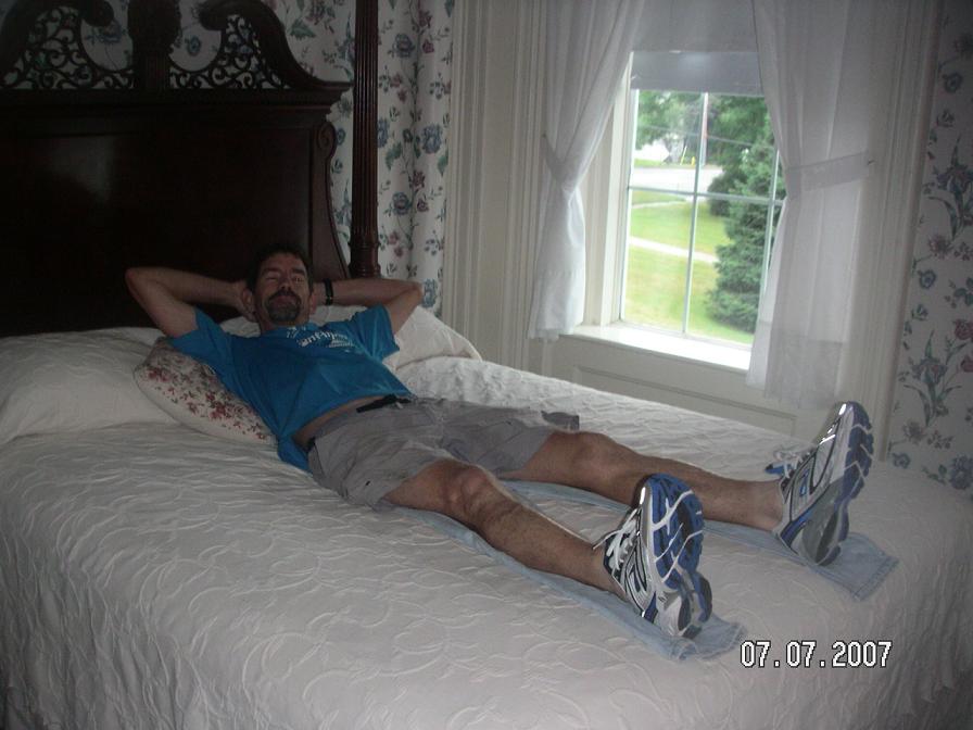
We stayed at the Deer Run Motor Inn, ate dinner at 158 Main in Jeffersonville, and had a nice quiet evening. Renee had seen a vet for a shot and an IV, and she was doing much better. We were glad to see her back to normal. Second day done!
My day 2 time = 10:00
Day 3/July 4: Codding Hollow Road to Route 108 (near Smugglers' Notch), 21.2 miles
One thing great about the LT is that although there are many constants (trees, rocks), the character of the trail changes section by section so you never know what to expect. Today started with a wonderful easy trail through a saddle (instead of over the top of anything for once), and then a nice climb up to Roundtop. Kip and I chatted and ran, making great time on a beautiful morning.
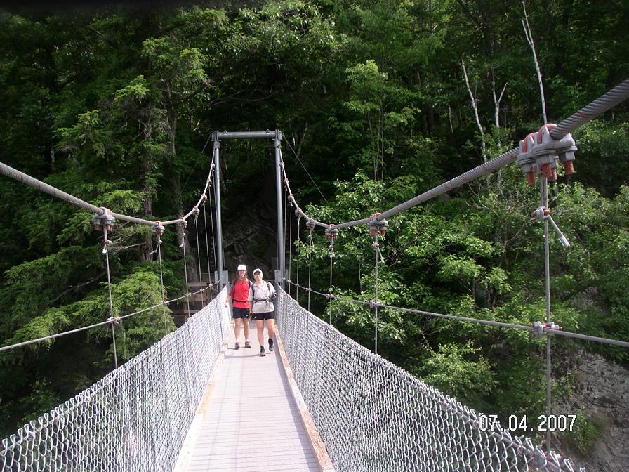
Dad met us with the car at Hogback Road, and then took our picture on the pedestrian bridge built over the Lamoille River just for the Long Trail. Neat! We climbed a ladder up a sand bank and followed the trail to Route 15. Across this road we were on a section of "Rails-to-Trails" which might have been nice except the surface was made from 1-2" sharp rocks. We figured out later that these were the original rocks under the railroad tracks, and it must have been easiest just to leave them instead of making a smoother surface.
Kip and I took it easy, following the former railway bed and then a dirt road leading up the hill. Eventually we turned onto a 4WD trail and then back onto singletrack. At Bear Hollow shelter I stopped for water while Kip went on ahead.
A nice little traverse led to the climb-of-the-day: Whiteface Mountain. I took my time up this climb, enjoying music and the sounds of the brooks streaming off the mountain. It took awhile and one false summit (I was now starting to expect those), but I got to the top eventually. It was only a few steps more on a side trail to see a nice view of the area to the south where we were heading.
It took a bit of downclimbing to Whiteface Shelter where I got water and sat on the edge of the shelter admiring the view. Pretty place! The trail turned rugged after that, so I just pushed along, up and down, trying to keep a decent pace while avoiding stupid mistakes like slipping or twisting an ankle. I was too far away from help to have to rely on it up here.
I enjoyed the interesting climb up through the woods to Madonna Peak and the brief run on a ski trail on the other side. Music kept me happy with the rock-hopping (it helps me run lighter on my feet) and sooner than expected I found Sterling Pond shelter. Thunder had been threatening all day, so I didn't want to waste any time finishing up. But I couldn't find the water source for the shelter (even with a map inside the shelter and backtracking), so I finally gave up and decided I'd have to finish with less water than I'd like.
There were a bunch of hikers in this area, some who were day hiking and others with huge backpacks. Apparently there is a ski lift that runs in the summer to take people up to Sterling Pond (a pretty place). A deceptively easy trail led toward Spruce Peak, then a hidden side trail that I just happened to notice (that turned out to be the Long Trail) led off to the right.
From then on, it was all downhill. Not so much the elevation change, but the trail conditions. This part is named Elephant's Head Trail and was recently added to the Long Trail to remove a pavement section on Route 108. I'm not a big fan of this change. The last two miles took forever. The trail made a "path" along the side of a steep hill, over boulders and over root systems (sometimes at the same time), occasionally using ladders. It was now raining and everything was slippery. I distinctly recall seeing a bunch of giant rocks with a trail marking painted on them and thinking, "Now this is getting ridiculous." Ah, the wonders of the LT.
Partway down it got a bit easier to move and then I caught up to Kip. Cool! He had found 3 halves of ski poles and an empty bottle of liquor that he was now carrying. We made our wet way down to the car where John had the heater blowing warm air. Phew, we made it. We drove down to Waterbury to stay at Mom and Dad's house for the night.
My day 3 time = 9:10
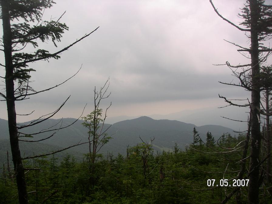
Day 4/July 5: Route 108 (near Smugglers' Notch) to Bolton Notch Road, 17.9 miles
This was a big day, summiting Mount Mansfield which is Vermont's high point. I was a bit concerned about my pace on these trails, so we decided that John would go to the planned finish point of Jonesville, and then drive back to Bolton Notch Road to meet me and Kip there (5 miles shorter). For once John wouldn't have to wait quite so long for us to arrive.
We started the day in fog, but at least it wasn't raining. Kip and I climbed the steep trail up from Route 108 where Mom had dropped us off. We chatted about various things and were surprised to get to the Taft Lodge turn-off rather quickly. The last bit of the climb up to The Chin (the northernmost and highest point of Mount Mansfield) involved some scrambling over solid rock, but the footing was excellent. I think we were climbing over granite, which gives good traction even when wet.
Fog and a bit of wind accompanied us on a rather surreal trip across the ridge of solid rock toward The Nose. We passed a couple other hikers who were all bundled up, reminding me of my run in driving snow above Chamonix while wearing shorts last year. I mixed SPIZ and greeted some hikers at the building on The Nose, then we moved on toward the challenge of The Forehead.
After a brief trail-finding venture (why can't they mark the little dirt roads better?), we were back in the woods. We climbed down a couple ladders and big rocks without difficulty and I was hoping the challenge was overrated. Well, it's not, because the next part involved scooting from one rock over a rather big drop to the shelter of an overhang, then downclimbing through giant boulders. None of it was too exposed, but I was still glad Kip had remained with me to ensure I made it down safely.
If I'd been thinking more clearly I would have gotten a better photo of this section, but you can see a bit of the bottom of the steep part on the right side of this picture:
From there it was pretty easy going. I took a detour down to Butler Lodge for some water while Kip went on ahead. I had a non-eventful run several miles to Taylor Lodge where Mom was waiting - she had hiked up with supplies. Thanks Mom! I refilled water and Gatorade, and then it was time for more climbing.
The next section around Mount Clark and over Mount Mayo seemed to take forever. I tend to go slower when listening to stories (in this case, "Wait, Wait, Don't Tell Me" podcasts), so maybe that was part of the problem. Or perhaps it was because the trail wasn't easy to run on (lots of roots and rocks). Plus it was hard to figure out exactly where I was the whole time. I met one shirtless hiker going the other way who gave me a status report for hikers ahead of me. Always nice to meet people on the trail and chat for a couple sentences.
Finally I found Puffer Shelter and I had planned to refill water there, but the creek looked rather yucky. It was flowing fast but was quite green. I was officially sick of trail water. My previous bottle had already grossed me out even after double-treating it and adding extra Gatorade powder. The only thing that completely masked the mossy flavor was SPIZ. I miss French alpine water.
So I mixed up one last SPIZ and decided to try to make it the last 6.5 miles without refilling (I probably had 20 oz of liquid remaining). This was great motivation to make good time and move efficiently. The final climb up Bolton Mountain went well, and soon I was working my way down the other side. The next section was still a challenge to run, but I got in a groove and started moving better. Occasionally I even had a view:
Last fall we had placed a sign that my Dad had made for Harrington's View. Recently my parents found out that the tree with the sign on it had blown over - bummer! Our mission on today's run was to scout it out and determine what needed to be done to put it back up. It turned out that someone had taken care of it already, nice!

A bit more undulating trail and then a nice downhill run brought me down to Bolton Notch Road and the car. Back home to another nice night in Waterbury. We were all glad to be over half done. We were getting tired but still ready to keep moving.
My day 4 time = 9:45
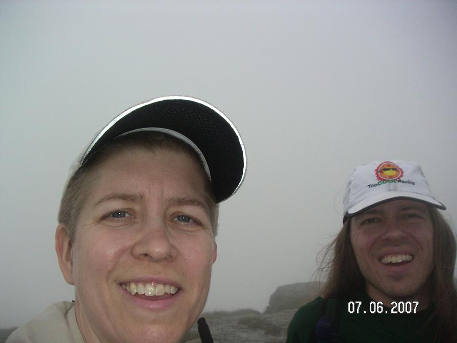
Day 5/July 6: Duxbury Road to Appalachian Gap, 18.7 miles
Today started with another long climb, actually the longest elevation change of the whole Long Trail, over the course of 6+ miles. For me it was a 2-SPIZ climb. I switched to a Camelbak bladder of Gatorade and bottles of water to hold me for the whole day instead of getting trail water today. It made my climbing slower in the first half, but at least it was good training...
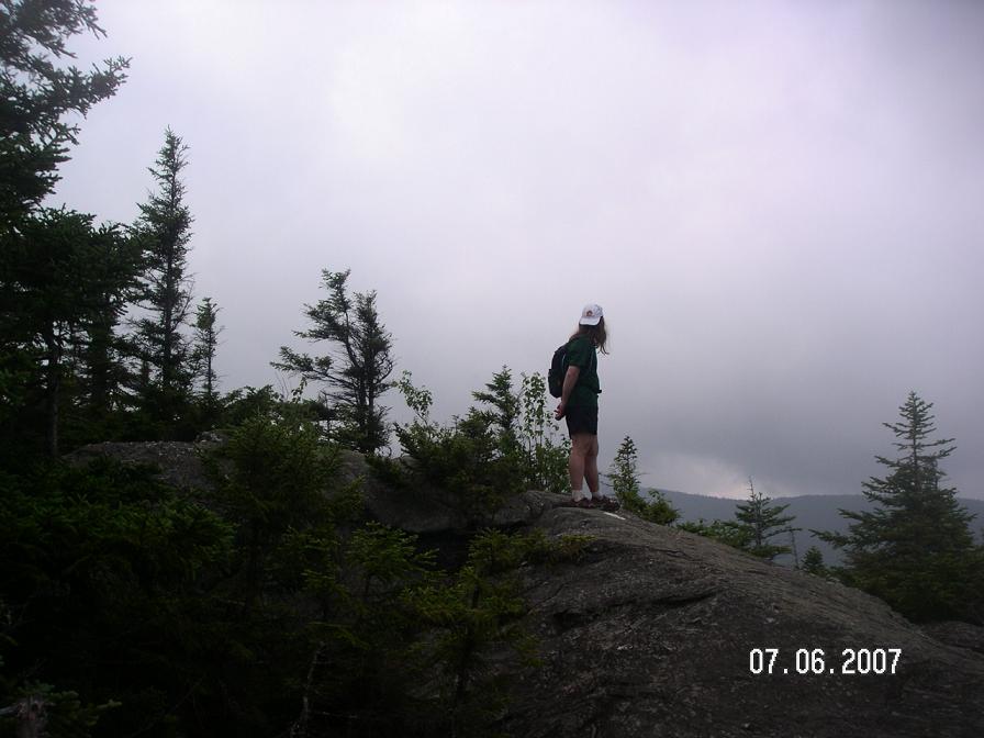
It was a very long climb up to Camel's Hump, and you can see it ahead of you for much of the time. On the way we found some nice granite to run on and some interesting trail routing up various shapes of rocks. Eventually we were climbing up the last steep part into the clouds to the top of the mountain. We didn't linger long - the lack of views isn't always appreciated, but it can save some time.
It took some care to get down the rocks on the other side, but at least we were back under the clouds to where we could see around us again. We worked our way down to a saddle and greeted various hikers going up. We could hear thunder occasionally and were glad to be going back down into the trees.
The climb up Mount Ethan Allen wasn't difficult and soon we were heading to Mount Ira Allen (Ethan's lesser-known brother?). We couldn't actually tell where the top of Ira was, which seemed fitting. The area around Paris Skidway was mostly defined by rough trail and slow going. Then there was this ladder up the side of a ravine in the middle of nowhere, cool! We met a couple with their dog (named "Toast"!) and wished we could have gotten there a couple minutes earlier to see them carry the dog down the ladder.
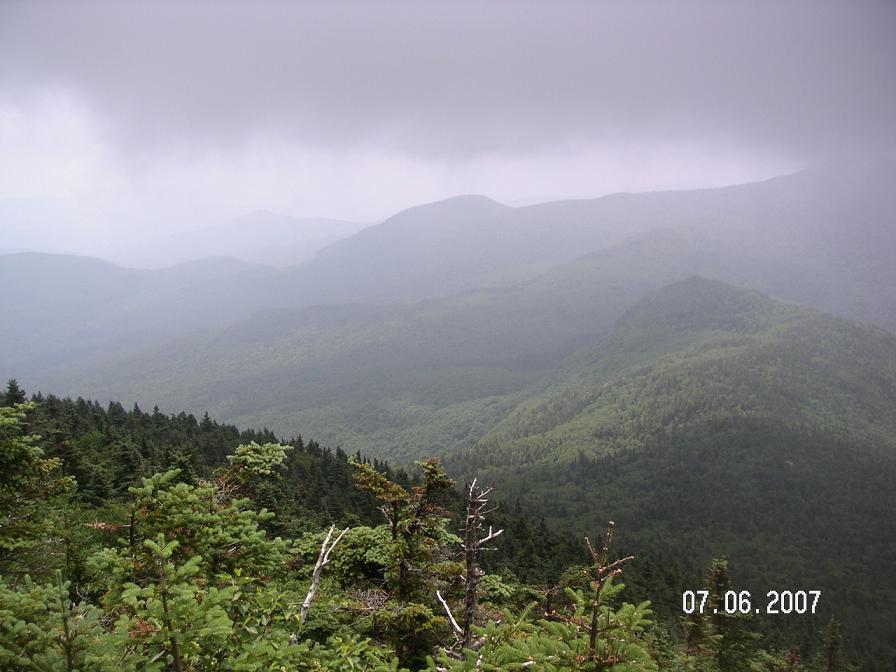
Finally we found Burnt Rock Mountain and were rewarded with fun rocks to traverse and nice views all around. That turned out to be one of the more memorable places for us.
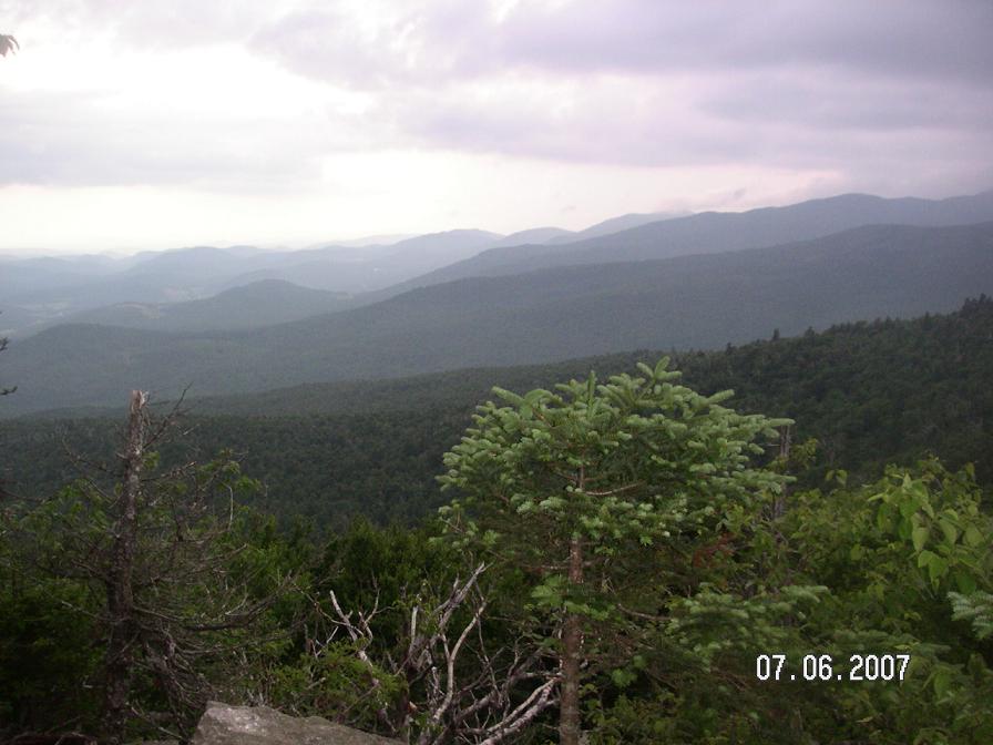
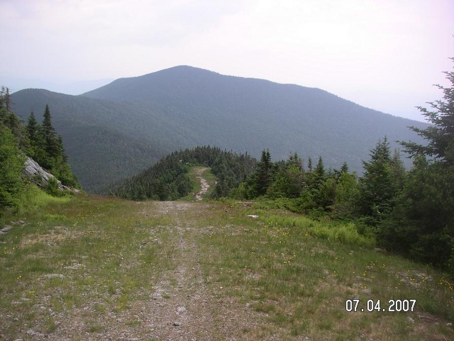
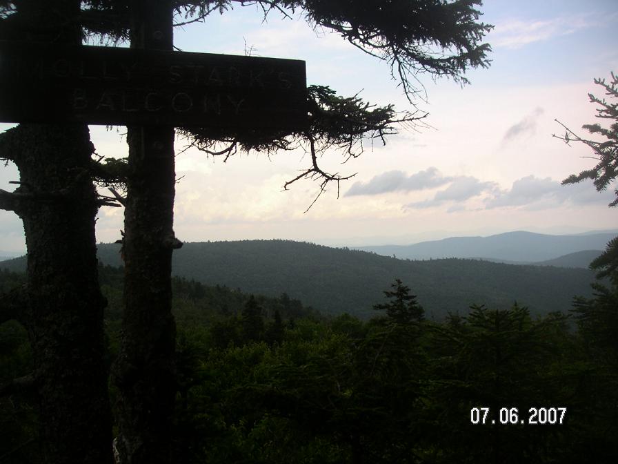
It was still slow going over to Cowles Cove shelter, then the trail opened up nicely for an excellent run over the next 3 miles. We were flying for once. Fun! Next was a good climb up to Molly Stark's Balcony, a nice view of points to the north. Here's the view:
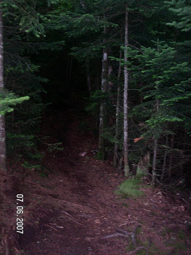
And here's what we saw most of the rest of the time:
The rest of the way, about a mile and a half, involved a couple short scrambles over Molly Stark and Baby Stark mountains, then a steep pick-your-way descent toward the parking lot at Appalachian Gap. I took a slight detour to check out the "Overlook", but could only see fog. I could, however, listen to traffic on the road below, so I told Kip it should be labeled as an "Overhear." Kip suggested that I oversee the change, and I determined that our jokes were now officially overdone.
A couple more minutes and we were at the car and then on our way down the hill to the east, to the Golden Lion Inn in Warren. Of particular note is the Country Flair Restaurant just up the hill - yummy pasta and fish.
My day 5 time = 9:50
Day 6/July 7: Lincoln Gap to Middlebury Gap, 17.3 miles
My original route plan listed 29 miles for day 6 and 30 miles for day 7. We all determined that this was unrealistic, so we decided to split the next 29 miles into 2 pieces and forget about the last 30 miles (at least for this trip). We opted for the longer piece as day 6, to finish with an easy day. No reason to kill ourselves at this point.
Dad drove us up to Lincoln Gap where we headed south into the Breadloaf Wilderness. The trail was getting less hilly but not a lot more runnable. Kip decided to go on ahead and make it a faster day for him, so I made good use of my iPod and "This American Life" podcasts.
The trail markings were less frequent in this section and occasionally it took a bit of trial and error to find the correct path. Once we started over the presidential peaks (Mount Grant, Cleveland, Roosevelt, and Wilson) the trail was more obvious. I had a nice relaxing day of moving through the trees, going up and down, trying to avoid the worst of the mud holes.
Today I carried all my liquids from the start again, but it was a shorter day with less climbing so it wasn't a big deal. What we would have liked most was some sunshine, but instead we usually had views of the clouds whenever the trees parted. Oh well! I did manage one photo early on:

I saw a few other hikers today, including a huge group of kids. Otherwise it was an uneventful journey. Towards the end it started raining, and with all the brush closely lining the trail I was soon soaked on my sides as well as from top to bottom. We had been lucky with the lack of rain for much of the week. After a couple hours of it, I was borderline miserable, but at least it was a short day.
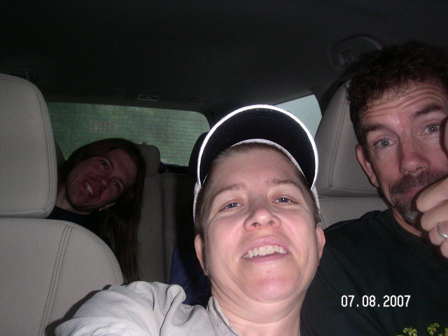
John had missed all of the rain and Kip avoided some of it by moving fast today. They waited for me in the car at the next trailhead, and then we drove down to Middlebury to stay at Middlebury Inn. It was very comfortable, the room was big and clean, the shower felt so good, and dinner was delicious. And Dad is still talking about the breakfast buffet from the following morning.
My day 6 time = 7:40
Day 7/July 8: Lincoln Gap to Appalachian Gap, 11.6 miles
The next morning it was still raining, so we had our first rainy start of the whole week. Driving up to Lincoln Gap, John decided he didn't want to run in the rain, and Kip agreed that it wouldn't be any fun (this was supposed to be some kind of vacation, after all). I wanted to finish what I started, and besides, it was a short day so I'd be wet only a few hours. Not only that, but it was hardly raining when we got to the trailhead.
One intrepid runner decides to finish the final day:
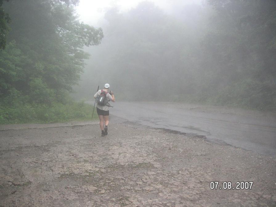
For the first couple hours I didn't see any rain, just a light mist. There had been a ton of precipitation overnight, however, so there was water pouring over the trail and it was a wet, muddy mess. This was OK climbing the rocks on the way up, as I could avoid the worst spots. Once up on Mount Abraham and onto the ridge, however, it was impossible to stay out of the muck. I was glad it was a short day, not to mention the last day, and decided not to worry about my feet. Just plow through it (as long as my shoes stayed on!)
The guys on "Car Talk" kept me laughing and in good spirits the whole way, even after it finally did start raining. Three times the trail crossed the top of a ski lift (part of Sugarbush and Mad River Glen ski areas), and each time I had to take some time to figure out where the trail returned to the woods. That made things interesting.
Other than occasional short walks on ski runs, the trail was rather rugged. Especially after going over Mount Ellen. Once I got over General Stark Mountain I was able to move more quickly, so I switched to music. It helped me pick my feet up higher and set a good rhythm over the obstacles. I was ready to finish.
That went great until the last descent down the App Gap. It's a fun one! Ladders and big rocks, slippery roots, it had it all. I took it slowly but finally I was back at the car. Yay!

We drove home to Waterbury for showers and hot food. Thanks for the awesome help, Mom and Dad! We could not have done it without you.
My day 7 time = 5:20
Afternote: The next day it poured buckets and hailed. It always could be worse.
Final tally (for the author):
- 7 days
- 130.9 miles
- 60:45
- An unlimited amount of appreciation for the beauty of Vermont and its wonderful trails!