Long enough, however, to set the starting times back to 6:30 am/7:15 am/8:00 am. I used my mini LED again as we started in the last bit of darkness before dawn. The initial run was out in the open along a creek, and I really didn't need the light.
I enjoyed the beautiful morning as I headed toward the bottom of a small ski area. A turn back to the right meant the start of a steep climb and a bunch of switchbacks into the woods. This was new territory for me, having been rerouted in 2006 to a huge variant. I liked seeing new stuff, and I hoped to continue to see new stuff all the way to Menton...
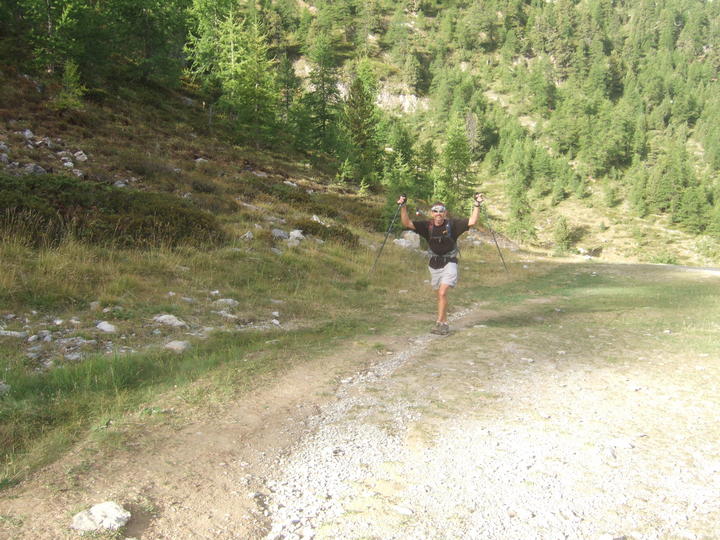
John coming up the hill a while later:
I didn't see anyone climbing below me for now. My climbing pace pleased me, and I was pretty sure I could maintain it for another 5 days. Just focus on the downhills now.
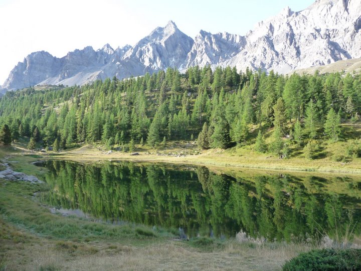
The woods were really pretty, as was the first lake I saw, called Lac Miroir. So still and peaceful.
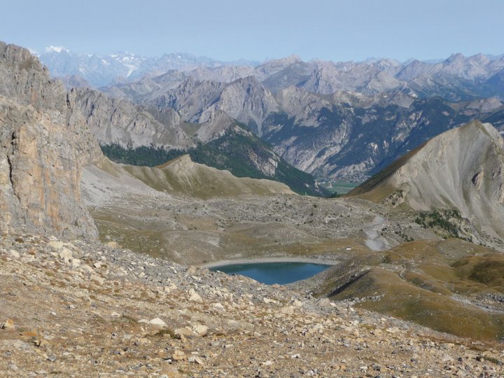
Further up I found the upper reaches of the ski lift and GR5 markings along a ski run. This 1000-meter climb was going well. After a stretch of rocky trail, Lac Ste-Anne appeared. Marvelous!

I could see a couple people fishing at the lake, and further ahead I could see the Col Girardin at the top of the climb.
The valley was wide open, and as I started up the final switchbacks I could see Christian and Henri not too far back.
Erwin, Bram, Vincent, and Rodolphe at the same spot:
The view from the top of the col looking south was stunning, making me smile. I started down but then paused... I had been planning to look back NORTH from the col but forgot. Well, too late now. In lieu of being able to see it myself, here's a wonderful photo that Vincent took:
I started down amid a huge chorus of marmot calls, with marmots racing back and forth to dive in their holes. Awesome! There are many good things about being the first one through in the morning.
The downhill was steep but the multiple step-downs helped make it easier. I was starting to recognize what types of descents would be easier on my knees and which would likely be devilishly painful. I wasn't looking forward to the 8 km road run, but there was no way I was complaining about it, knowing the alternative.
Partway down I had to navigate a narrow trail with a decent dropoff to the left. Running in the Alps has really improved my ability to deal with high trails, but sometimes I still get a bit antsy. I focused on my grip on the trekking poles, with my "footing and poles" mantra giving way to a strange "pudding and foals, pudding and foals" version. At least it was my tongue tripping, not my feet.
I made it down to the road and got going, first through the tiny town of la Barge:

It was a long, flat or gently downhill run on pavement, but at least there were plenty of spots where I could run on the shoulder, on grass or dirt. I couldn't use my poles at all, but I didn't mind carrying them for a bit.
Laurent running on the road, also carrying his poles:

Time passed quickly enough, and eventually I made it to the ravito, in St-Antoine next to a little chapel. Henri came running in right behind me - go Henri!
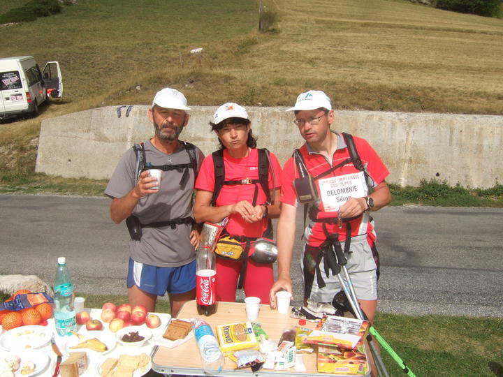
Christian, Claude, and Serge at the ravito:
After the standard refill/eat stuff routine, I continued on to finish up the road running for the day. The course crossed over the Pont du Chatelet, a really high stone bridge over the Ubaye River. I was so grateful we didn't have to go all the way down to river level this time. John stopped to shoot a GoPro video clip from the top to show how far down it was.
I readied my iPod as I approached the next trail. I knew we had a steep little haul coming and I wanted some motivational music. A little Mambo No. 5 again did the trick and I was on my way. Partway up I happened to notice some wild strawberries in the grass - score! I had given up on the berry quest, but now there was still hope.
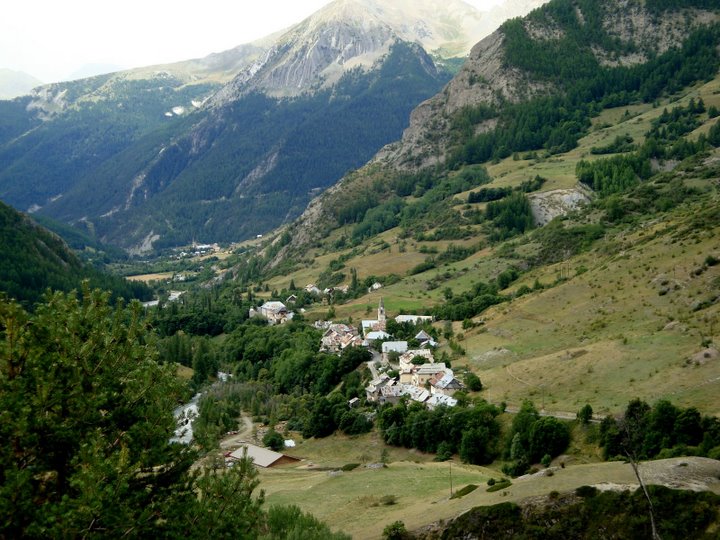
The trail led around into Fouillouse to start climbing up a long, gentle valley. A group of hikers gave happy greetings, always a pleasant lift. Gilles had decided we should climb on the right side of the valley instead of on the boring normal GR5 trail, so I followed pink markings up into the woods. I agree, the right side is better - they should reroute the GR5 there.
Looking back down to Fouillouse:
Laurent caught me by surprise, passing me almost at a dead run and then disappearing completely. Good morni...! I found out later that John had taken a wrong turn near Lac Miroir (ahead of Laurent), allowing Laurent to pass him. Except Laurent didn't know this had happened, which led Laurent to think that John was quite a ways ahead of him. Hence the "bat out of hell" pace Laurent was maintaining - well, that unintentional "strategy" sure backfired, didn't it John?
I continued on at a much more pedestrian pace, climbing toward the Col du Vallonnet. I expected to see John anytime, but he didn't appear anywhere behind me, even when I had a view quite a ways down. Ah well, run your own race, Marcy.
A huge herd of sheep crowded the area near the col, which concerned me somewhat. I carefully picked my way through, watching and listening for any overprotective patous, but no dogs appeared. The sheep stared at me like they had never seen a human before, although I guess that's just a normal sheep expression.
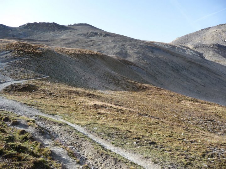
I made it fine over the col and started down into the valley on the other side.
Initially I thought our variant would require going over the col just to our left, which looked completely scary and unthinkable. As the pink dots led away to the right, I started breathing again. I paid careful attention to those pink dots, eventually locating a key intersection where I turned left and saw the real Col de la Portiolette in front of me. Much better!
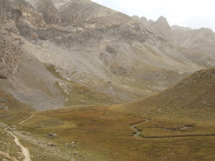
It took a bit of work, winding through rocks of all sizes, but I made it to the last climb of the day - gravelly switchbacks up to the col. The surface was rather loose, but nothing resembling scree, so all was good. Our photographer was snapping pictures from up above, but I didn't have much energy left to try to look good for the camera.
Bram and Erwin, with Francesco taking photos higher up:

At the top I found a nook out of the wind where I could sit and eat a cookie. Francesco's wife came over to offer encouragement and mostly to ask where the heck John was? Apparently she had been paying close attention on previous days! As usual, I had no answer to that question (and I've been asked the same thing in several languages in the past 8 years). She bade me good luck as I headed down the other side.

The first part was steep and sandy, then it leveled out, then I had to climb again - what in the world? Just follow the markings, you'll get there. Then I started across a super-rocky traverse that was so bad that I could only walk carefully across. My consolations included "well, everyone's gotta do it" and mostly "this is STILL better than the 2006 variant!"
The trail seemed to take the long way around, finally turning downhill for real. Partway down John appeared above me. Yay John! We ran together briefly and he told me about getting lost. He considered staying with me the rest of the way down, but we agreed there was still too much distance to go and he better stay at his own pace.
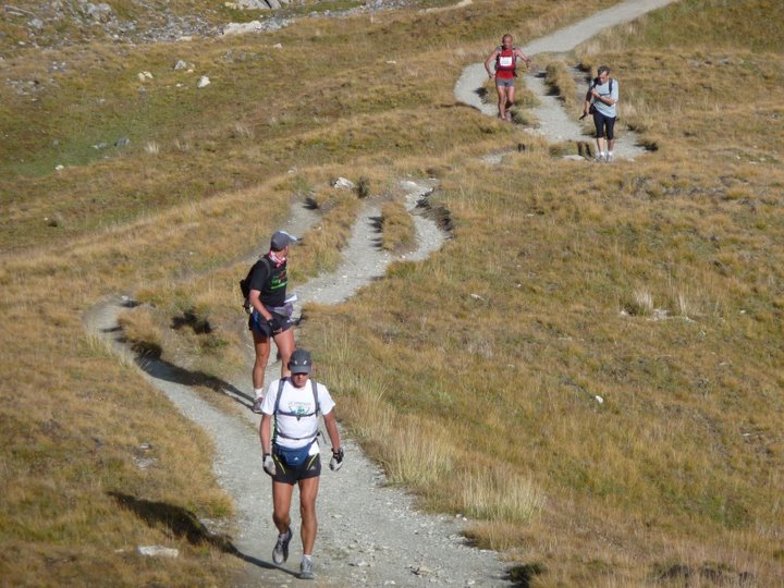
Sylvie and Ignace making their way down here:

With Robbie Williams appropriately crooning, "Kiss Me" in my ears, I followed John down the hill. The bottom bit started to hurt a little, but an ibuprofen kept most of the difficulty at bay. And then I was done - another day down.
John and I chilling out and talking maps afterwards:

John's detour had cost him 45 minutes against Laurent - ouch. We figured that probably sealed the finishing order. I was by now solidly mid-pack in the standings, which felt great. Just gotta keep it together. I gained another hour on Sylvie. Again, keep it together... we have two big stages coming our way that might define the finish for the women.
Everyone else made it to the gite without incident, then we all went over the mayor's office for a very nice reception. I had a bit of time before dinner (what a joy compared to 2006) so I worked on gear and soaked my knees in the super-cold fountain next door. The soaking plus some Flector gel felt really good.
We slept up on the top floor with Sylvie ("au Texas", according to her), then got up to start it all over again...
Results:
John = 5:34:20 / 2nd among full-course runners (overall placing = 2nd)
Marcy = 7:09:54 / 10th among full-course runners (overall placing = 10th)